Esri’s Federal GIS Conference provides a golden opportunity for government employees to learn about powerful new technologies. Factal’s exhibiting for the first time, and the timing couldn’t be better. With US and other governments adjusting to a new risk horizon, risk intelligence in ArcGIS applications is more valuable than ever.
Factal will be at booth 200 with our partners at VertiGIS, presenting our products live. That’s just one way curious professionals can sample lightning-fast updates from our editors. Whether you’ll be in Washington DC next week or not, Factal offers four feature layers, with a 30-day free trial available to qualified organizations. You can find them in the ArcGIS marketplace:
- Factal Risk Intelligence and Global Incidents – Core
- Factal Risk Intelligence and Global Incidents with Impact Zones
- Factal Risk Intelligence and Global Incidents (Signals)
- Factal Risk Intelligence and Global Incidents V2 (Last 24 Hours)
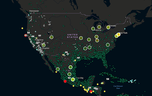
Feature layers are integration-ready. Real-time risk intelligence arrives in your ArcGIS application or dashboard as soon as a trial request is approved. Morgan Dibble, the Director of Global Intelligence at Marriott International, chose a Factal feature layer to power Marriott’s in-house “Risk Atlas”.
“What’s really great about the ArcGIS tool is you start with a blank canvas,” Dibble shared with Factal last year. “You build it organically. […If] you’d rather do things in house, I’d say that there are very low barriers to entry for this between ArcGIS and Factal. It’s very user friendly.”
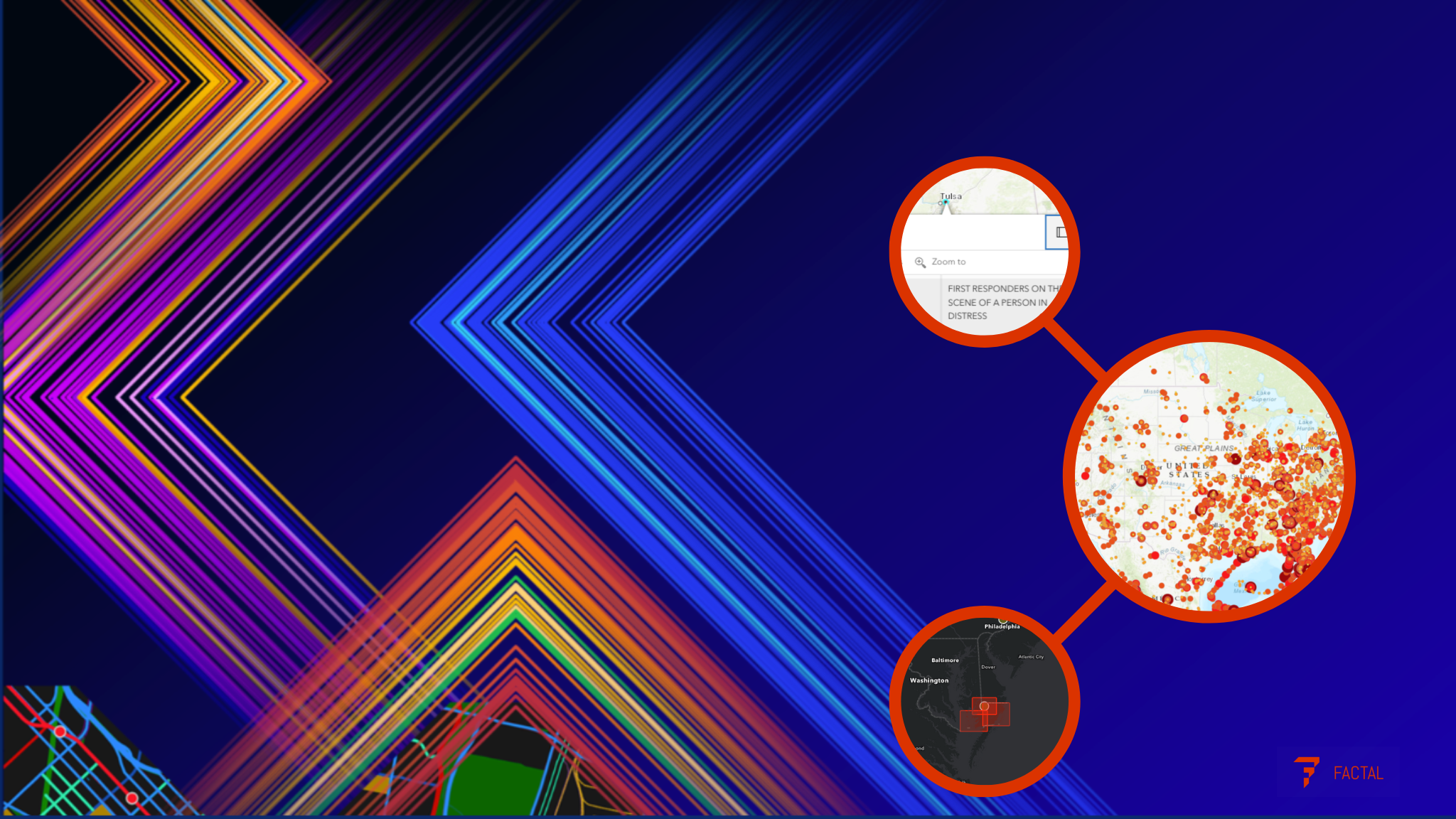
If your organization prefers to work with expert consultants, Factal can introduce you to the technologists at VertiGIS right at booth 200. They’ll be demonstrating Factal in VertiGIS Studio, a no-code product pictured below:
Setup of Factal is straightforward; shopping should be, too. For the first time, interested government buyers can procure Factal through Carahsoft.
As a member of Esri’s Partner Network, Factal’s proud to present our offering through feature layers, custom integrations, and Esri’s Watch Center. As governments navigate geopolitical risk, internal upheaval and uncertain budgets, reliable risk intelligence is a must. Collaborating to protect and inform stakeholders is simple with Factal and ArcGIS technology.
If you’re attending the FedGIS conference and want to reserve time at booth 200, you can do so here:
If you won’t be in DC but want to learn more about Factal, request a trial here.
Factal gives companies the facts they need in real time to protect people, avoid disruptions and drive automation when the unexpected happens.
Try Factal for free or talk with our sales team (sales@factal.com) for a demo.