Morgan Dibble has a lot to keep track of. As the Director of Global Intelligence at Marriott International, his team helps support properties in over 140 countries. When Dibble starts work in Singapore, he’s monitoring threats to almost 9,000 hotels and resorts.
Dibble is part of a global team with members located in Washington, London, Dubai, and Singapore. Longtime Factal members, Marriott used Factal alerts for years in their Global Security Operations Center, or GSOC, to triage and respond faster.
“They’re big portfolios,” Dibble says. “We very much rely on Factal on a 24/7 basis. We’ve used other real time alert monitoring services, and I have to say that Factal are one of our most trusted alerting sources. The vetted content is super useful. It helps filter out some of the noise, so we get only the signals that matter to us.”
Late in 2023, Dibble started a project that would integrate Factal’s risk intelligence in Esri’s ArcGIS, the powerful mapping software platform. He chose to use Factal’s feature layer, a quick way to map critical incidents. Marriott calls their mapping dashboard the Risk Atlas.

“We very much rely on Factal on a 24/7 basis. […] It’s useful to display as you’re having your crisis management call where you say, ‘All right, here’s our footprint, here’s our exposure, and then here are the geolocated Factal alerts that can show us what’s happening in proximity.’”
– Morgan Dibble, Director of Global Intelligence at Marriott
“The Risk Atlas actually neatly integrates Factal,” Dibble says. “We can see our assets mapped globally, and then we can see the proximity to the Factal alerts, which I have to say has been surprisingly easy to integrate.” Factal editors geolocate events in real-time. In many cases, they’re pinpointed down to the meter. That verification shaves critical minutes off of response time for security professionals. “We thought it would be great if we could start to integrate Factal,” Dibble continues. “Which is a little bit daunting, right? Because I’m not a coder, and whenever anybody says ‘API’, it’s sort of, ‘Alright, well let me get the IT team on the phone and you guys can figure out how to plug that in’.” That wasn’t the case with Factal’s feature layer.
“I’m always down to experiment, even if I hit a wall, which I often do…why not see how far we can push the envelope of our deliverables? So, I added the Factal feature layer into our master layer. And it was surprisingly straightforward.”

While Morgan’s teams still use Factal’s web and phone apps for most of their discovery, the Risk Atlas presents intelligence in a new and valuable way. “We presented it using use cases: Wouldn’t you like this tool to be able to manage a crisis situation?” Dibble explains. “With Risk Atlas, you could export the contact information for all of the properties in proximity to a big event. It’s useful to display as you’re having your crisis management call where you say, ‘All right, here’s our footprint, here’s our exposure, and then here are the geolocated Factal alerts that can show us what’s happening in proximity.’”
Risk intelligence professionals are used to consuming vast amounts of information. Factal provides a cleaner view of risk, with less noise than other platforms. Dibble says that the ArcGIS integration builds on that: “In our line of work, people are kind of tired of looking at spreadsheets and whitepapers. What we’ve created with Risk Atlas is a more interesting and digestible way of visualizing threat information.”
It didn’t take long for that visualization to show up in the daily work of Marriott’s Global Security Operations Center.
“When there was an earthquake south of the Philippines [in the first weeks of the team using Risk Atlas] somebody in the GSOC reported, “There’s been a 7.0 earthquake off the island of Mindanao” after seeing a Factal alert. In Risk Atlas, I can show a picture: Here’s Mindanao. Here’s the earthquake. Here’s the shake zone. And then here are our properties, outside of the shake zone.”
With so many assets to monitor and protect, there’s no slow season for the hospitality giant. When asked why the combination of ArcGIS and Factal was appealing, Dibble pauses.
“When you sign up with a third-party platform for a virtual command center or single pane of glass solution, they are not cheap,” he notes. “What’s really great about the ArcGIS tool is you start with a blank canvas. You build it organically. We believe that we know what’s important to the organization, whereas a third party’s like ‘Here’s your off the shelf model. Hope it works for you.’ If you’d rather do things in house, I’d say that there are very low barriers to entry for this between ArcGIS and Factal. It’s very user friendly and if you tinker with it enough, you can create your own system.”
In a short span of time, Dibble’s done just that. Risk Atlas is already a valuable tool for a team with a huge area of responsibility.
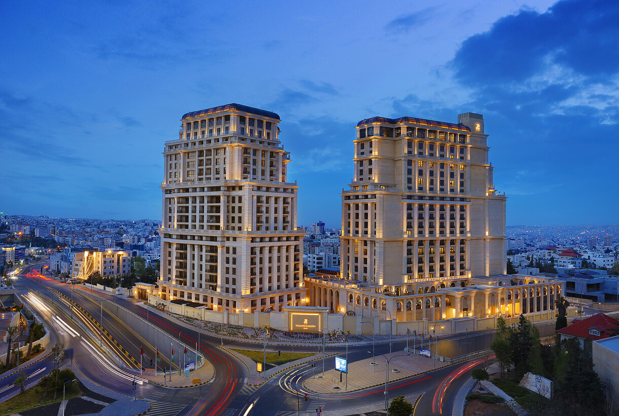
Top image: The Ritz-Carlton, Amman – Hotel Exterior via Marriott’s Media Centre.
Verified risk intelligence by Factal supports the world’s largest corporations and 300+ humanitarian aid NGOs, helping them act faster in a world of rumors and generative misinformation. Facts save lives.
Try Factal for free or talk with our sales team (sales@factal.com) for a demo.