Weather isn’t what it used to be. Fueled by rising temperatures, it’s behaving in new ways and shifting into unexpected places. Tornado outbreaks are expanding into more populated areas, hurricanes last longer and flash floods can materialize in minutes. Heat waves and smoky, unhealthy air have joined the ranks of severe weather events, triggering a new slate of urgent alerts.
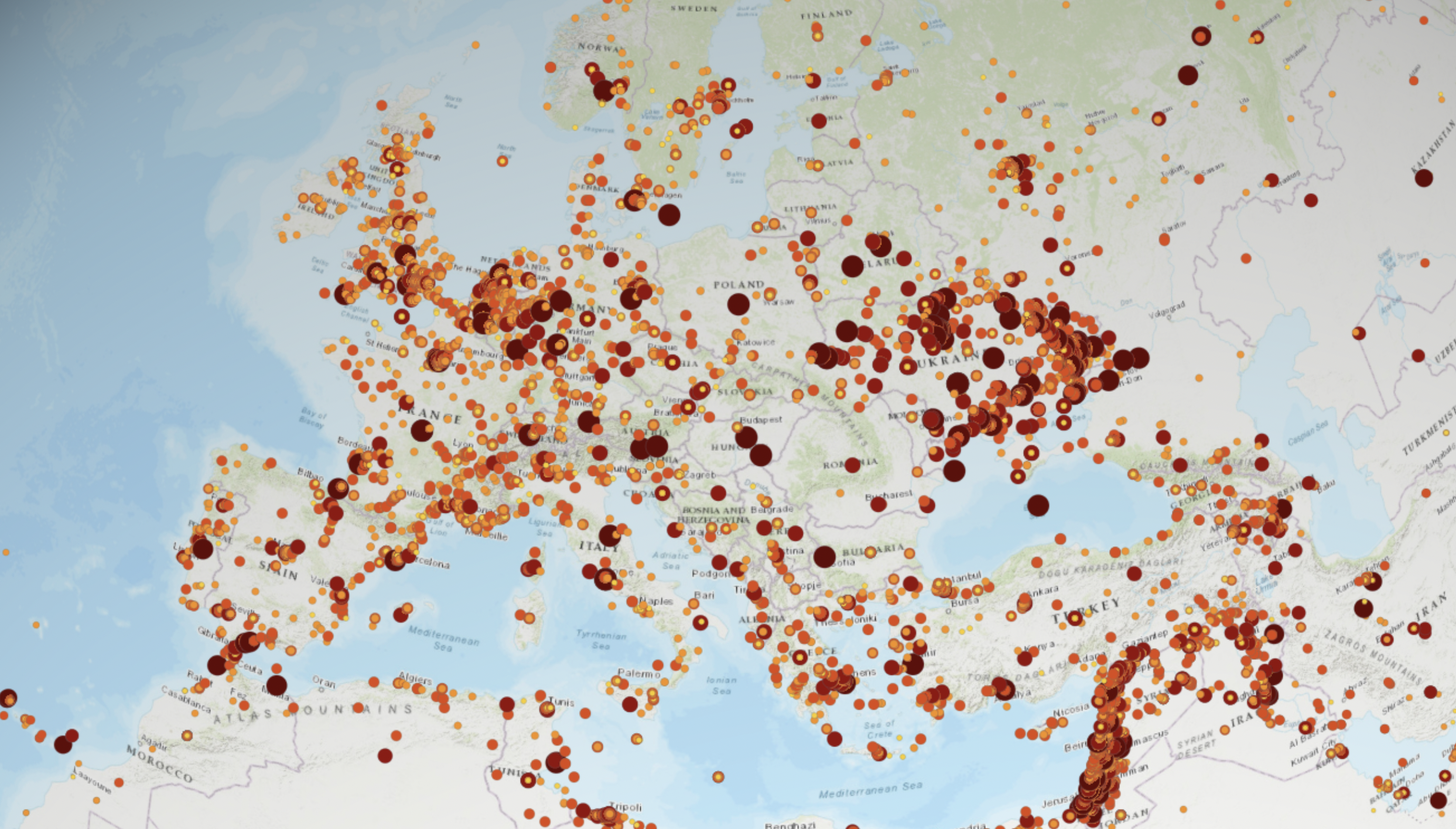
At the same time, weather data is multiplying. Governments and technology companies are deploying more sensors, satellites and smart AI. What was once a manageable stream of information has become a cacophony of forecasts, models, advisories and warnings. Then there’s the aftermath: some storms come and go, but others leave a trail of casualties, damage and long-running power outages.
For many companies, it’s becoming overwhelming to manage. Small teams in security, business continuity and HR are responsible for large hybrid workforces and complex supply chains. At the same time, several US states are passing different heat and air quality regulations for worker safety. And as climate change intensifies and populations grow, it’s only going to get more difficult to track in real time.

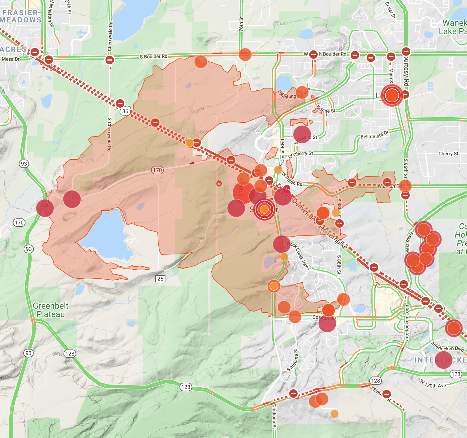
Factal weather and wildfire data:
- Severe weather warnings
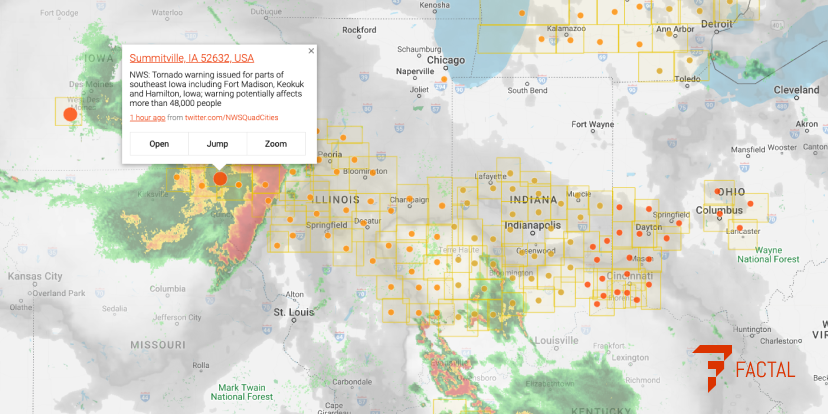
- Real-time radar, satellite and tracks
- Wildfire starts and perimeters
- Flooding and landslides
- Evacuation warnings and orders
- Heat and air quality warnings
- Red flag warnings
- Power outages
- Damage reports
- Road closures
At Factal we’ve built a powerful alerting and mapping platform that combines weather, wildfire and health warnings with downstream impacts like power outages and damage reports. We blend trusted automated data with verified social media reports. Each alert is precisely geolocated and compared with your company’s locations in real time.
Air quality alert in Washington County? If you have facilities inside the country, you’ll get an alert seconds after it’s published from the EPA. Tornado warning in Tulsa? If you have any locations in the warning area provided by NWS, you’ll get notified instantly. Power outage in Pensacola? Depending on the number of customers without power, we’ll use True Impact™ to calculate the likely impact zone and notify you if you have any assets in proximity.
Our focus on geographic precision helps you prioritize quickly, especially when you’re faced with a more severe, rapidly-evolving weather or wildfire event. While triaging what’s happening near your company, you can zoom out and track developments on the Factal map with layers for live radar, satellite, warnings, wildfires and live traffic.
On top of all the automated data, Factal’s editors are on duty around the clock. They’re verifying damage reports from social media, monitoring news reports and even listening to police and fire scanners for contextual details. They’re also fielding tips and questions from our members in a live chat. The end result is a comprehensive, real-time view of severe weather events that no other platform can match.

Factal is a longtime partner with Esri, the gold standard of geolocation. You can add Factal data as a mapping layer in ArcGIS.
“Knowing where to look for the best forecasts helps prepare our editors for the worst storms, giving them time to redirect resources, build up sourcing and develop guidance,” explained Jillian Stampher, who leads Factal’s experienced team of journalists. “All of this helps us filter through the noise that comes with any major natural disaster to find on-the-ground reports as they happen.”
Precision alerts are a big reason why many of the Fortune 500 and nearly every disaster response NGO rely on Factal to anticipate and track severe weather. If you’re interested in learning more about joining Factal, please email us at sales@factal.com or submit a request for a 30-day free trial.

