The deadliest tornado outbreak in more than a decade tore through nine states and left at least 93 people dead. It was a fast-moving, wide-reaching tragedy that developed at night, making it difficult to assess the damage.
From the first tornado watch to detailed damage reports, Factal’s verified coverage of the outbreak outpaced the first reports from major media organizations by more than an hour. Throughout the evening and night, Factal’s experienced editors quickly verified and geolocated damage reports from social media, local news reports and emergency responders.
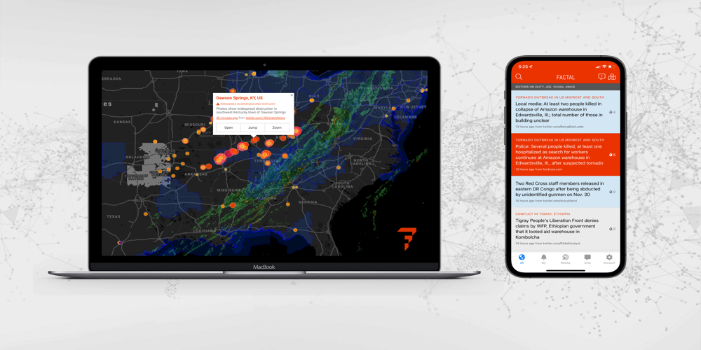
Factal members were notified immediately if stores, hotels, distribution centers or other locations were impacted by the storms. Through Factal.com and our popular mobile app, security and crisis leaders tracked the latest developments through real-time feeds, alerts and a detailed map view. Disaster relief NGOs relied on Factal to help route assistance to the hardest-hit areas.

Beyond Factal’s verified updates, members could also tap into automated NWS alerts, real-time weather mapping layers, prebuilt Twitter lists and a live chat to get the most holistic picture of a widespread disaster.
If you’d like more information about Factal’s tornado coverage, please contact us at sales@factal.com. Disaster response NGOs qualify for free unlimited access to Factal.